The Modified Soil-Adjusted Vegetation Index (MSAVI) is a vegetation index used in remote sensing and vegetation studies to assess the health and vigor of vegetation. It is an improvement over the Normalized Difference Vegetation Index (NDVI) and Soil-Adjusted Vegetation Index (SAVI) in that it attempts to reduce the soil background influence on the index values.
Plants are the lungs of our planet. They also give us food, clothes and many other essential things. Without vegetation, life in our world could be different or couldn’t exist.
Agriculture greatly impacts the economy of many countries and the environment. The concept of precision farming involves the application of technological advances to maintain sustainable agriculture and increase crop yields. For example, remote sensing of the Earth has a significant role in such farming systems, as this technology provides growers with valuable information about the condition of plants, soil and various environmental factors that affect crop yields.
When this data is available for farmers, they can improve farm management strategies, increase profits and reduce the negative impact on the environment. It’s all about combining the useful with the pleasant.
Technologies such as GIS and GPS also form the basis of precision farming, allowing for more efficient farming operations that can also analyze, detect and control temporal and geographical variations in yields within a single field.
Vegetation indices have made a real revolution in precision farming. Thanks to them, it became possible to achieve higher yields and reduce the amount of resources consumed. Indices have been widely used since 1974 for surveying vegetation. In fact, calculating the vegetation index is a spectral transformation using several spectral ranges.
The Normalized Difference Vegetation Index is commonly used to evaluate crop health. It determines the level of “greenness” or photosynthetic activity of crops. NDVI calculates red and near-infrared band differences per pixel. However, it’s not a solution for every problem as it doesn’t work for every crop stage.
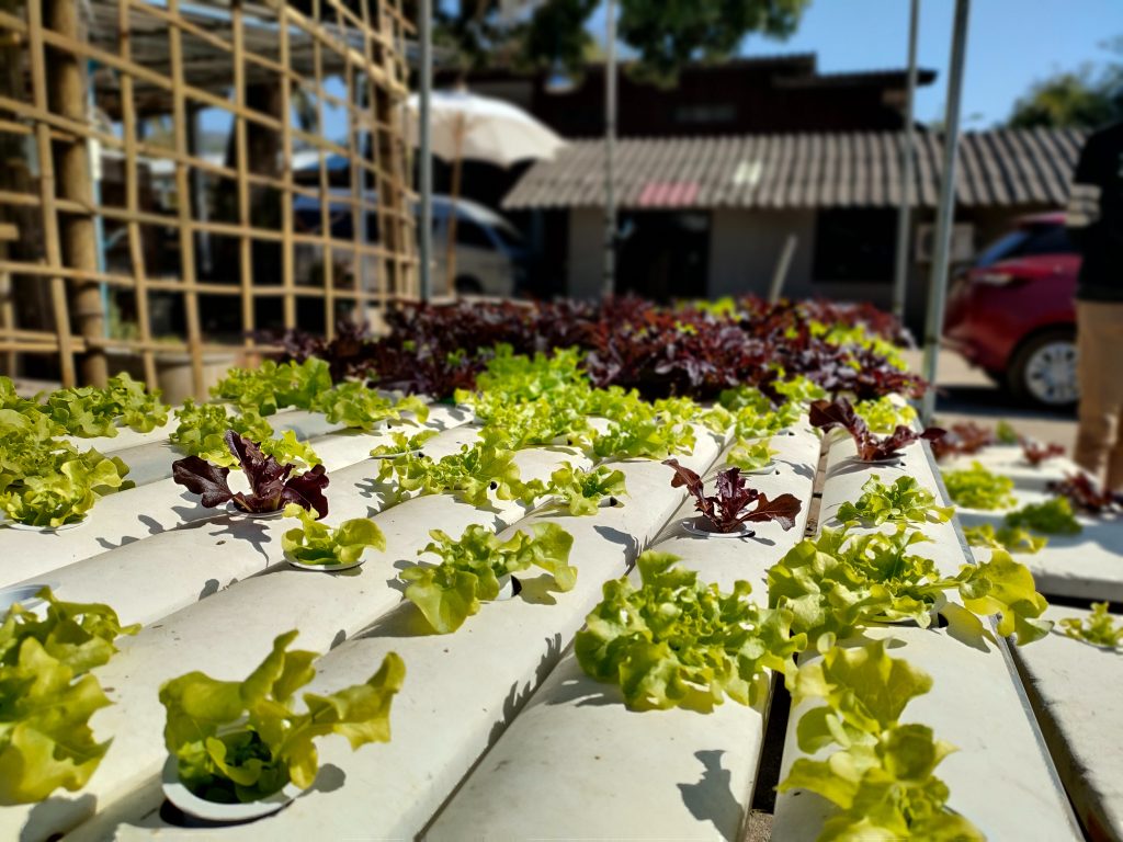
MSAVI is a better approach for tracking vegetation in the early stages of crop growth. It accounts for exposed soil, resulting in more accurate measurements of yield variations in younger or sparser crops. NDVI can be misleading in indicating a lack of vegetation.
Introduction to MSAVI index
Unlike other indices, the MSAVI vegetation index already works well at the seed germination and leaf development stage. When farmers need to track seedlings, they can calculate it, especially useful in areas with bare soil. How can it help? For example, to track the impact of potential hazards, including heat, cold, precipitation, and unstable growth.
With the help of the Modified Soil Adjusted Vegetation Index, growers also identify uneven seed growth. The better they understand early seed development, the more likely they are to improve management and increase yields.
This index is an excellent replacement for NDVI and NDRE when you’re dealing with low vegetation or a lack of chlorophyll. When plants are young, there is usually a significant amount of bare soil between them. Other indicators show that the foliage is in poor condition at this stage.
And MSAVI reduces the influence of the ground on calculating the density of vegetation in the field. It can also be used before harvesting at the end of the season because the vegetation density is reduced, as is the chlorophyll content, and there is more bare ground.
MSAVI reduces soil interference and improves vegetation sensitivity by comparing vegetation signal power to the soil noise level. The SAVI index uses a soil correction factor to minimize soil effects on vegetation data. The L coefficient decreases as vegetation increases and can be obtained through inductive methods or NDVI and weighted difference vegetation index.
MSAVI formula looks like this: 2NIR+1-√(2NIR+1)2-8(NIR-RED)2
- NIR (Near-Infrared) is the reflectance in the near-infrared band of the electromagnetic spectrum.
- Red is the reflectance in the red band of the electromagnetic spectrum.
EOSDA Crop Monitoring & MSAVI
EOS Data Analytics is a reliable provider of satellite imagery analytics for more than 20 industries, with agriculture being one of them. The company has created EOSDA Crop Monitoring platform, an innovative tool that empowers farmers to enhance their farm management and increase crop yields by leveraging decision-making based on data.
This precision farming solution applies remote sensing technologies to provide users with valuable soil and vegetation health data. By calculating the vegetation index, field monitoring can help to detect crop issues, prevent or minimize damage, and efficiently allocate resources based on the needs of the plants.
By utilizing satellite data and vegetation indices, this platform generates maps that aid in optimizing crop management, reducing expenses, and increasing yields. EOSDA Crop Monitoring offers a 14-day weather forecast that assists you in anticipating any extreme temperatures that may affect your crops. Growers can take prompt action if there is a decline in the index by keeping track of temperature and MSAVI in vegetation. You can find them as curves on a graph, which is easy to understand and get valuable information. Being alert and taking necessary precautions can help you protect your crops effectively.
Newly planted crops are susceptible to excessive or insufficient rainfall. Observing precipitation data on software charts enables prediction and planning for potential droughts or floods; with the help of the soil adjusted modified vegetation index, users can identify any harm caused by irregular rainfall to young plants.
Read also: How to start seeds indoors with grow light